=> Langon (35)
KM: 2
CARTE: IGN 24
|

Bain-de-Bretagne - Le Gâvre
|
La Vilaine: Redon - Pont-Réan
|

Redon - St Just - Redon
|

Redon - St Malo
=> Port-de-Roche (35)
KM: 6
CARTE: IGN 24
|

Inzinzac-Lochrist - Penthièvre
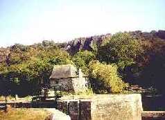
=> Port-de-Roche (35)
KM: 6
CARTE: IGN 24
|
La Vilaine: Redon - Pont-Réan